NBRO–USGS Collaboration Enhances Landslide Risk Assessment through Advanced GRFIN Modelling
February 12, 2026 | 10:09 AM
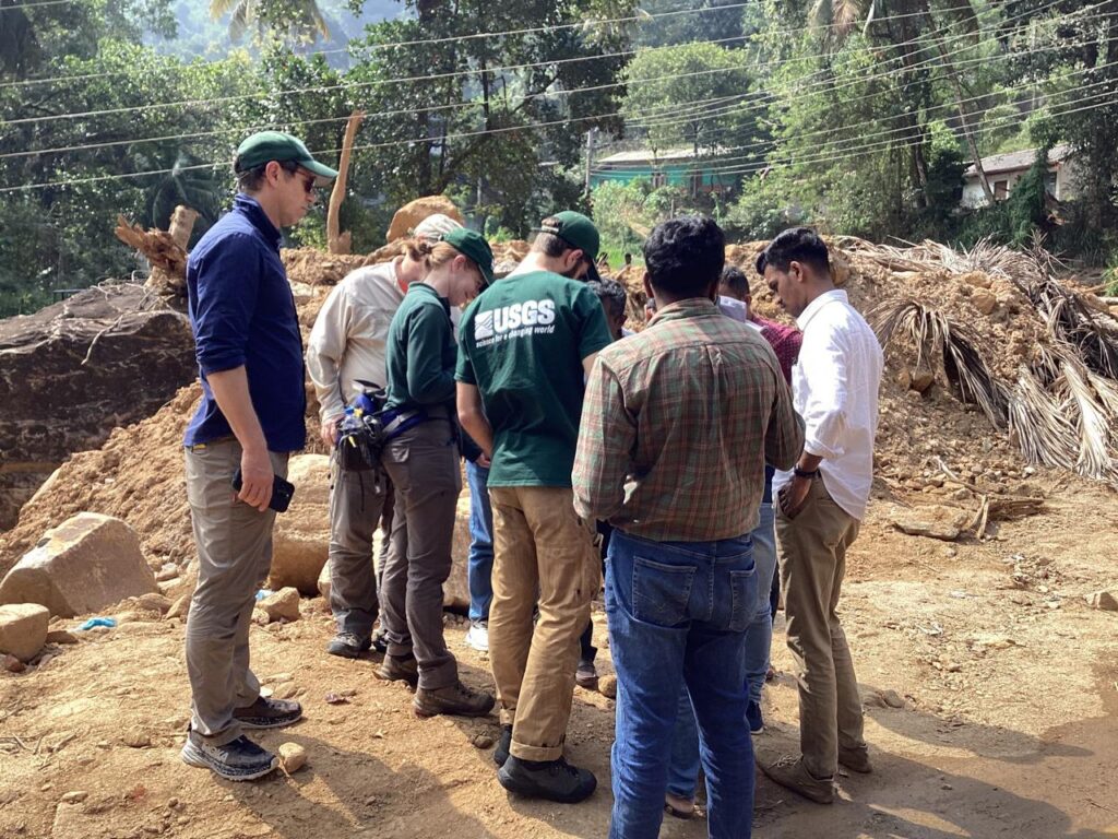
A team from the United States Geological Survey (USGS) collaborated with the National Building Research Organisation (NBRO) to strengthen landslide investigations through the application of the GRFIN simulation toolset. The model was applied across extensive mountainous regions to identify and map potential debris-flow pathways, followed by field verification activities in the Aranayake area of Kegalle District. In addition, hands-on capacity-building sessions were conducted at the NBRO Early Warning Centre with the active participation of several NBRO officials.
At present, NBRO and USGS experts are jointly calibrating the model parameters by integrating data from approximately 1,400 major landslides triggered by the Ditwah storm. The refined tool is expected to be operationalised in the near future. Its primary benefit will be the significant enhancement of landslide susceptibility mapping, which is essential for identifying suitable locations for future development. Consequently, this initiative is anticipated to produce wide-ranging positive impacts, contributing to safer and more resilient human settlements across the country.